We Are Your Complete Drone Solution Provider
-
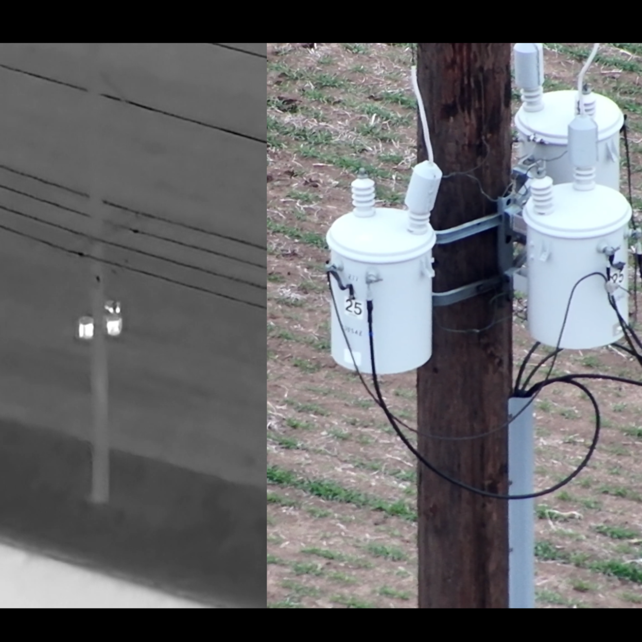
Thermal
Utilize thermal imaging to detect heat signatures for efficient wildlife recovery, equipment monitoring, and structural inspections, regardless of lighting conditions.
-
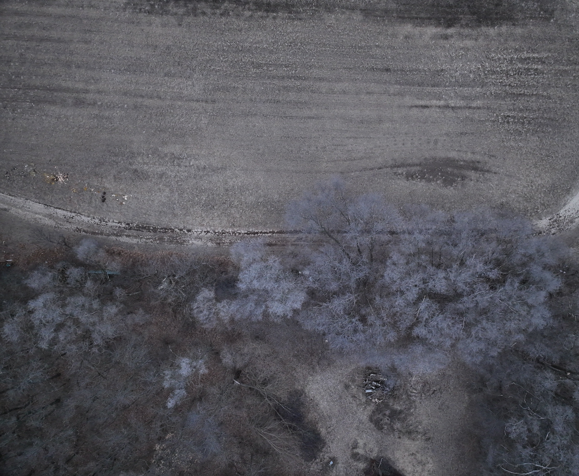
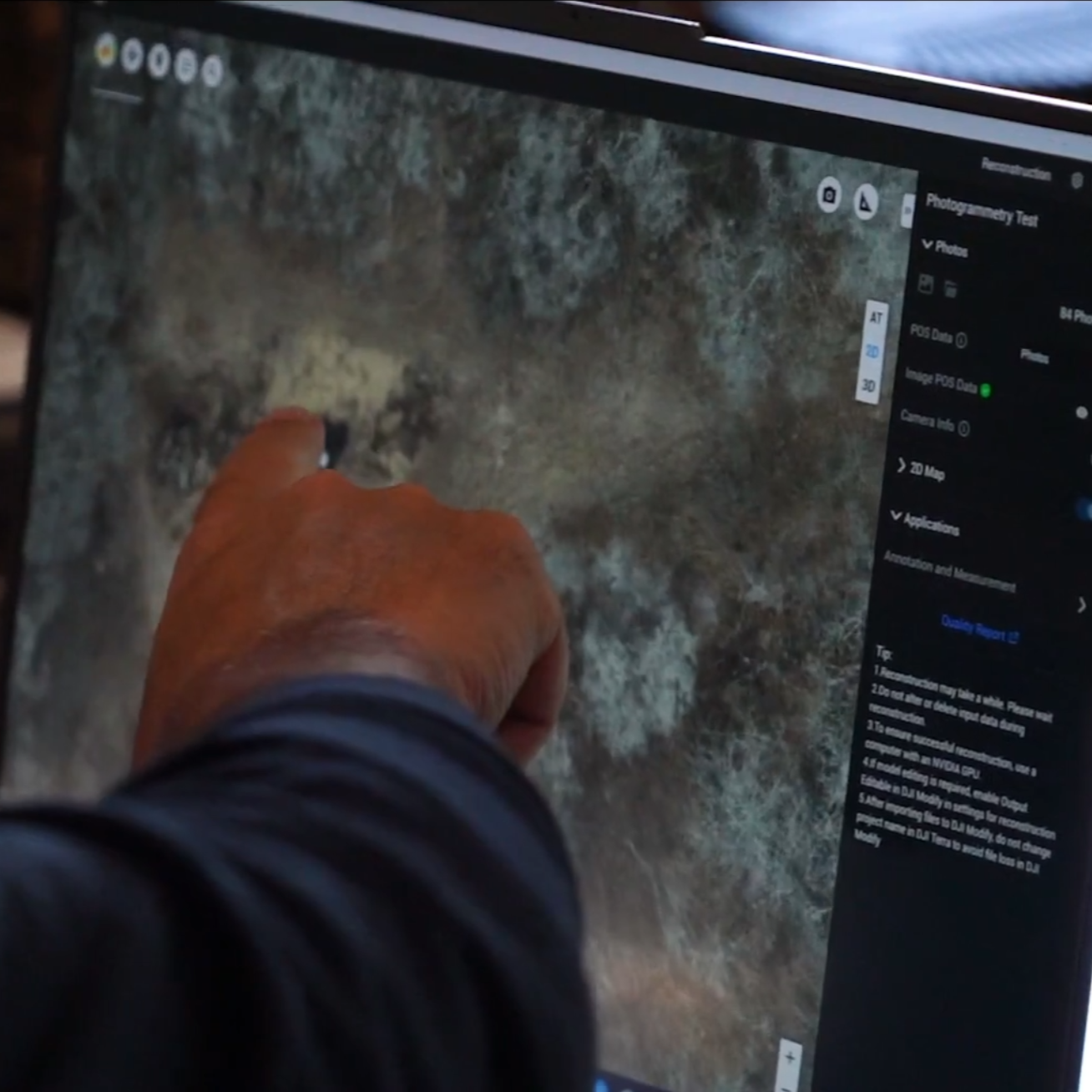
Photogrammetry
Produce high-resolution orthomosaic maps to enhance land mapping, construction planning, and environmental monitoring.
-
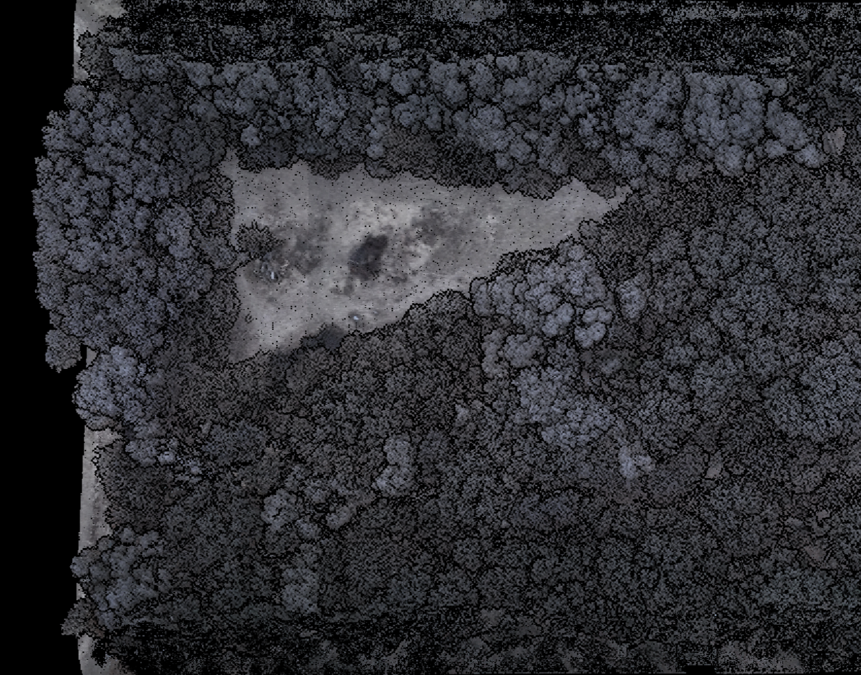
LiDAR
Employ LiDAR technology to generate detailed 3D terrain models, facilitating precise planning, conservation efforts, and specialized land assessments.


Harness the power of advanced drone technologies.
Real Results From Above
Whether you're searching for a downed deer or mapping your land after a storm, our drone services give you fast, accurate answers. Thermal imaging, high-res mapping, and LiDAR help us find what’s hidden—and show you what others miss. Don’t guess—see the truth from above.
Built for Landowners, Hunters, and Pros
We work with hunters, farmers, surveyors, conservationists, utility companies, and more. Our gear and training meet the highest standards, whether you need to locate wildlife, assess storm damage, or map out your next land improvement. If you manage land or wildlife, we’re the team to call.
Gear That Delivers
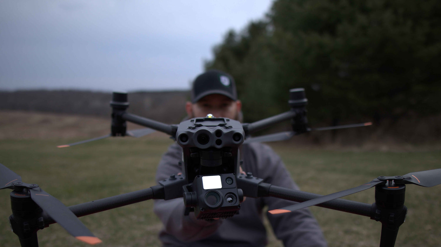
Operating the DJI M350 RTK equipped with L2 LiDAR, we achieve centimeter-level accuracy in 3D modeling, elevation data collection, and volume measurements, surpassing traditional surveying tools.
Built on Faith, Grit, and Know-How
Founded by passionate outdoorsmen, Rugged Altitude combines cutting-edge drone technology with unwavering dedication to deliver unparalleled aerial solutions.
Why Choose Us?
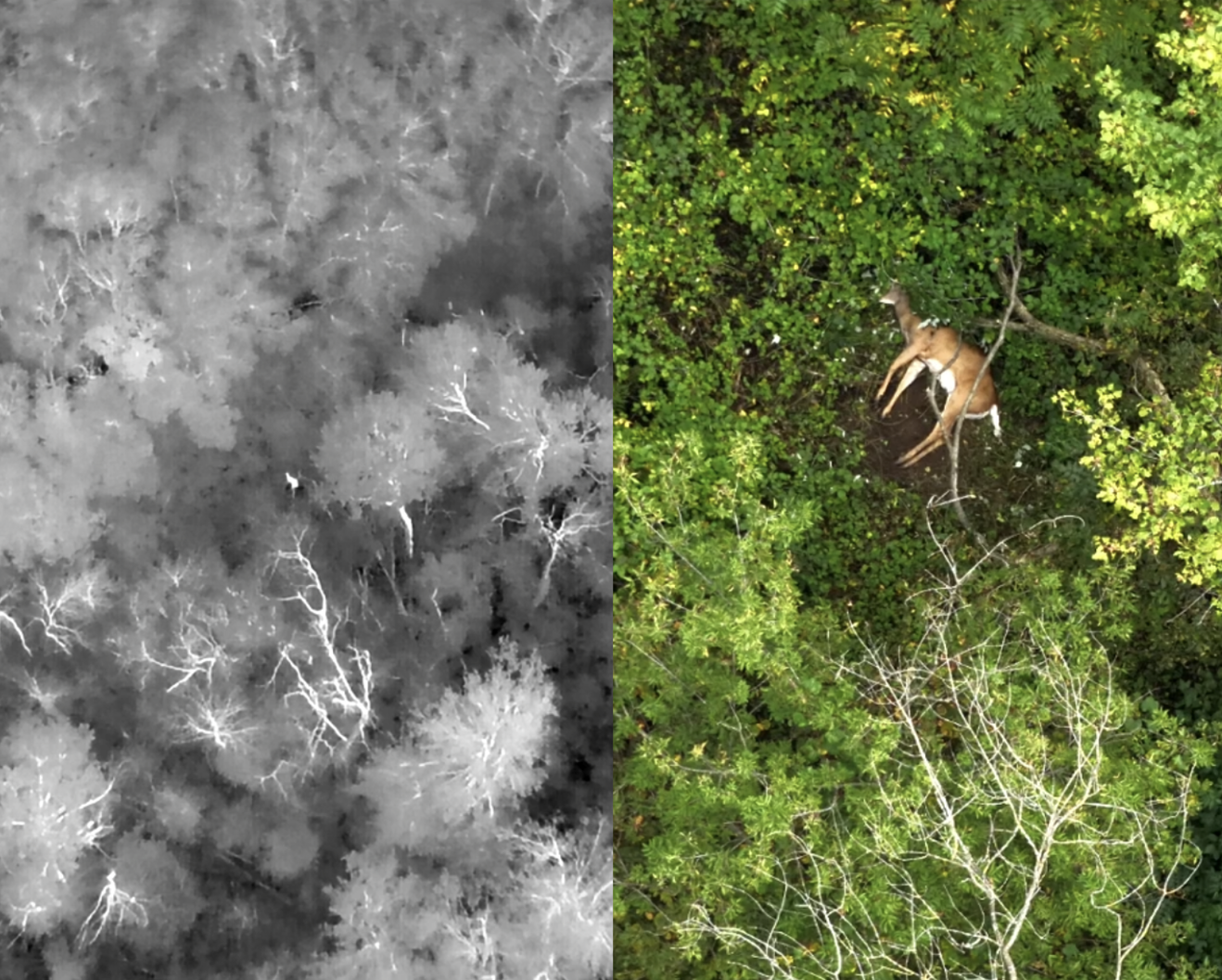
Night or Day, We Don’t Miss a Thing
Leveraging state-of-the-art thermal imaging, we conduct comprehensive nocturnal operations, ensuring no detail escapes detection, regardless of lighting conditions.
Rugged Gear
-
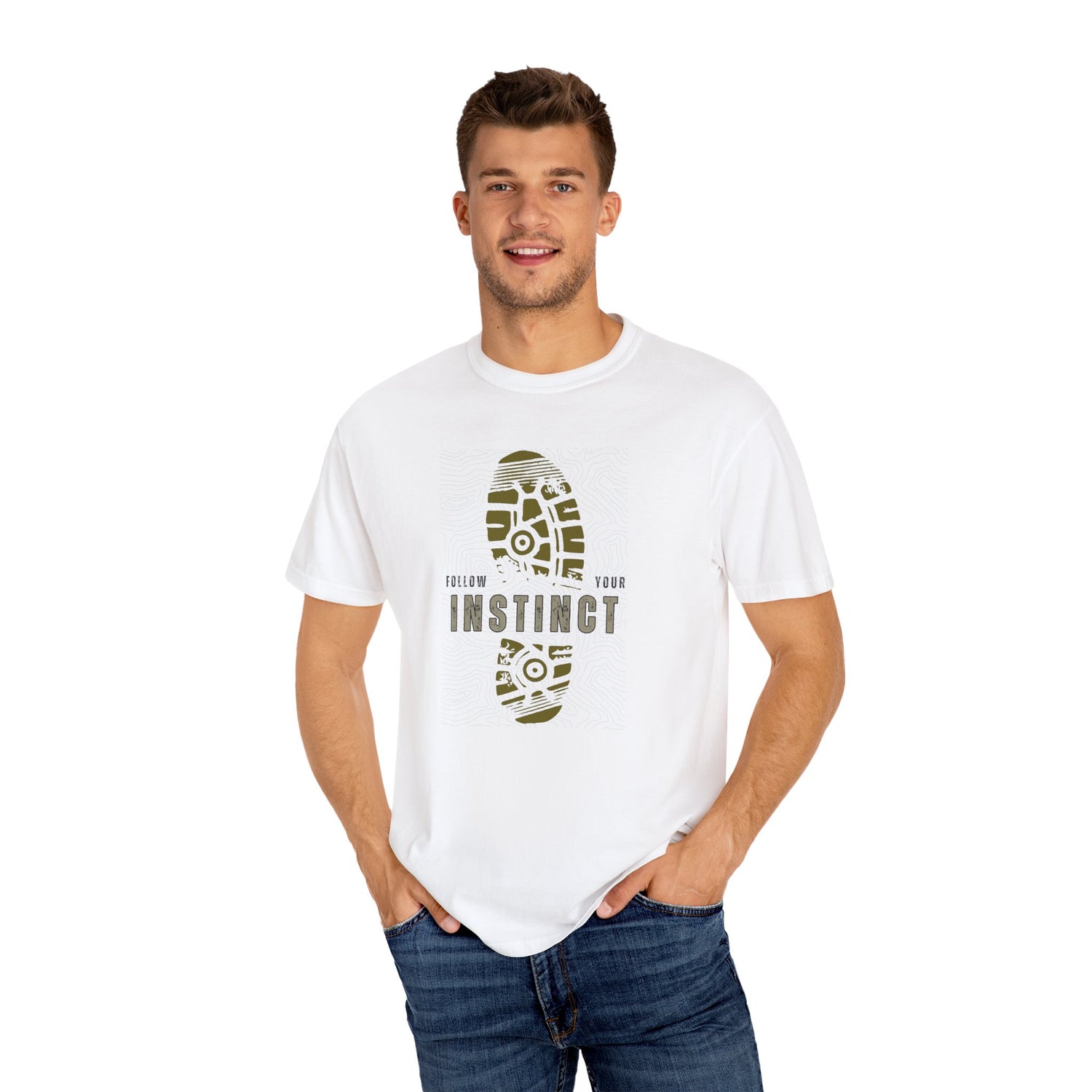
Outdoor Adventure T-Shirts for Rugged Wildlife Exploration
Step into the world of open skies and wild places with our...
-
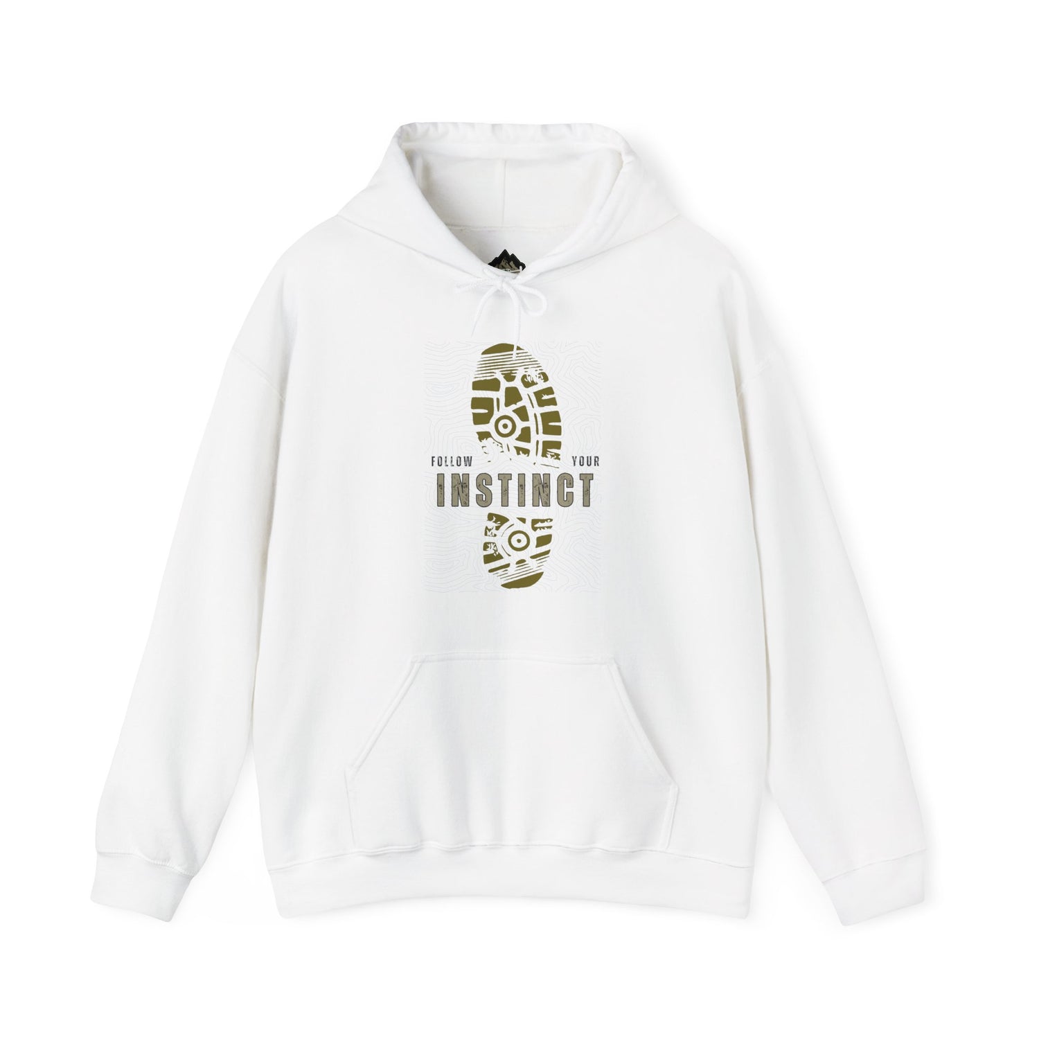
Rugged Altitude Inspired Hoodies for Outdoor Adventure
Explore the wild in comfort with Rugged Altitude inspired hoodies. Each piece...
-
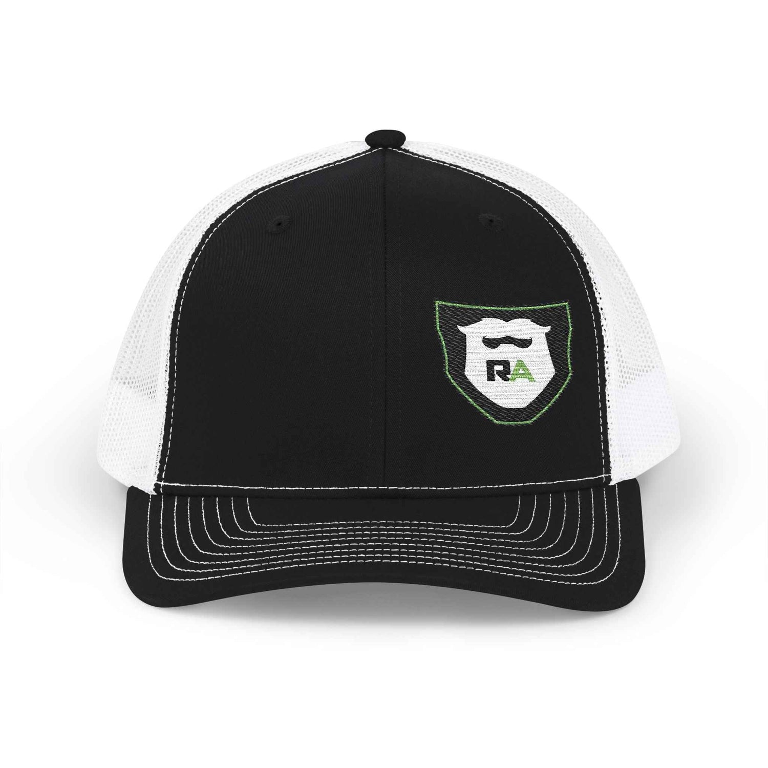
Rugged Altitude Brand Hat Collection for Outdoor Adventure
Step outside with confidence in a rugged altitude brand hat. Each piece...
-
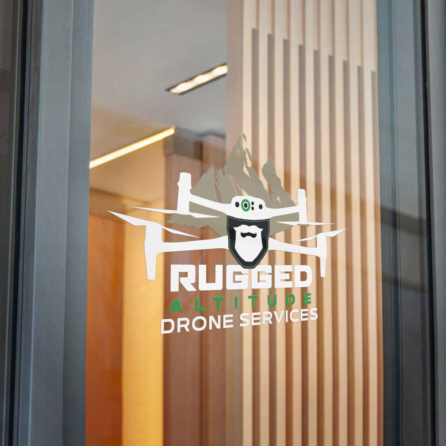
Rugged Altitude Decals and Stickers for Outdoor Gear
Give your adventure gear a personal edge with Rugged Altitude decals and...


